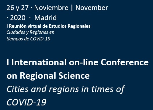
I International Online Conference on Regional Science. Cities and regions in times of Covid-19
Workshop on georeferencing
Within the framework of this I International on-line Conference on Regional Science, on Friday, November 27, a course on georeferencing data analysis will be held given in two sessions by Daniel Arribas-Bel and Federico Pablo-Martí with the following schedule:
10: 00-11: 45 First part, given by Daniel Arribas-Bel
Geographical Data Science in Python for Regional Scientists
In recent years we have witnessed the emergence of new forms of data. From GPS traces collected by smartphones to online platforms whose businesses interact with the urban environment. A new generation of data, much of it spatially referenced, has been incorporated into the toolbox that regional scientists can use for their research. An important element in taking advantage of these new databases is the ability to handle new tools such as popular programming languages in data science.
This workshop will cover elements of two recently available resources for regional scientists:
– The book (in progress) “Geographic Data Science in Python”: https://geographicdata.science/book
– The “Geographic Data Science” course: https://darribas.org/gds_course/
In an interactive way, we will cover elements of spatial data processing and spatial regression in Python. The course will use the online platform Binder as the main instrument to interact with the contents, so the only requirement to attend is an internet connection and a modern browser.
11: 45-12: 00 Break
12: 00-13: 00 Second part, given by Federico Pablo-Martí
Georeferencing
One of the limitations that we most commonly face as regional scientists is the lack of data. Frequently the answer we give to this situation is to adapt our analysis to the available data, normally offered by administrations and statistical services.
Georeferencing expands our work possibilities and gives us the possibility to reverse this situation by adapting the data to our needs.
In this short introductory course we will first deal with the relationship between data and territory and we will see that we do not always make effective use of the information available.
In the second part of the session, we will check in a practical way the possibilities offered by this methodology to incorporate data from unstructured sources such as aerial images or old maps into our econometric analyzes. To do this, we will download an image from the Internet and convert it into “shapefiles” with which we can later work.
Basic knowledge of GIS is convenient, although not essential.
The software we will use will be QGIS. Being open source, it can be freely downloaded from https://www.qgis.org/es/site/forusers/download.html
QGIS on OSGeo4W: OSGeo4W Network Installer (64 bit) OSGeo4W Network Installer (32 bit) In the installer choose Quick Install Desktop and select QGIS to install the latest release. To get the Version with Long Term Support (which is not the latest release) select Advanced Installation and select qgis-ltr-full To get the latest unstable version in …
Dani Arribas-Bel
Senior Lecturer in Geographic Data Science at the Department of Geography and Planning, and member of the Geographic Data Science Lab at the University of Liverpool (UK), where he directs the MSc in Geographic Data Science. From 2020 to 2023, he is also an ESRC Fellow at the Alan Turing Institute. Member of the development team of the open source library PySAL for spatial analysis in Python, he and created “contextily”, a small Python package to use web tile services in static maps. Since 2019, he is co-editor of “Environment and Planning B – Urban Analytics and City Science” and, since 2020, also in the editorial panel of “Journal of the Royal Statistical Society, Series A – Statistics in Society”. His main research interests are: Geographic Data Science and New Forms of Data, Urban Economics and Regional Science, and Open Source Scientific Computing and Reproducibility.
Federico Pablo- Martí
Federico Pablo Martí holds a PhD in Economics from the University of Alcalá and a Master’s degree in Industrial Economics from the University Carlos III. He is currently an associate professor of Applied Economics in the Department of Economics at the University of Alcalá. He has been a visiting researcher at the Institute for Development Strategies at Indiana University. His main areas of research are regional economics, transport and agent-based simulation models from the perspective of complex networks, fields in which he has published several national and international papers.
